
How Georouting Works
Territories are defined precisely per your specifications.
When people call your organization, it's an opportunity to "wow" them with a stellar customer experience. The way you handle those calls can create a strong first impression.
For example, ask yourself these questions:
- What kind of experience do you provide for customers when they call? Do they talk to an automated prompt, or are they immediately connected to the right person?
- Do you monitor customer calls to ensure quality? Tracking call length, repeat calls, and first-time caller data can help determine what works and what doesn’t.
- How do your advertising programs perform? Are you tracking response rates to see which offers generate the best return?
- What if you could view sales, demographic, and other data integrated into a single view on a map? Would it be helpful to instantly see where your current or prospective customers are located based on who’s calling your company?
All of these things are possible with Geospatial Information Systems (GIS). GIS is a form of mapping technology that captures and displays information geographically. It allows you to view and understand relationships between data sets that are geo-coded with latitude and longitude markers.

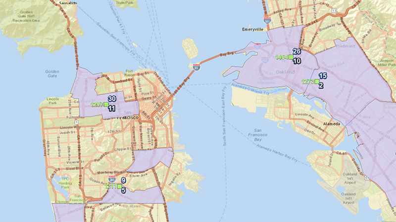
The same territories, but now overlaying the Customer Response Zones.
We create custom caller response zones that direct where calls should be routed. These zones can be based on zip code, county, closest location, political boundaries, franchise boundaries, complex polygons, busy/no answer, first-time callers, time of day, day of week, historical data, or any other criteria you can define.
When this mapping technology is applied to telecommunications, all incoming calls are geo-coded with the latitude and longitude markers from where they originated. That essentially “tags” these calls with a specific location from which we can make a call-routing decision.
In fact, you can literally draw your territories on the back of a napkin, and we can encode them for you. Any incoming call “tagged” with location data inside a particular zone will get routed accordingly. Your custom caller response zones can be as unique as your business.
Applying Big Data to Call Data
But georouting goes beyond simply moving calls from here to there. It also allows call data to be captured and plotted on a map with other data, such as demographic or sales information, so that trends (both good and bad) can be instantly spotted.
That’s how georouting can help:
- Improve your customer experience by routing calls in the most efficient way
- Ensure quality through call tracking/monitoring/recording
- Boost ROI by tracking response rates to advertising and marketing campaigns
- Grow your business by spotting trends and opportunities